Landslides triggered by Cyclone Ditwah have physically altered parts of Sri Lanka’s upcountry, forcing authorities to rethink land use, resettlement, and national mapping priorities.
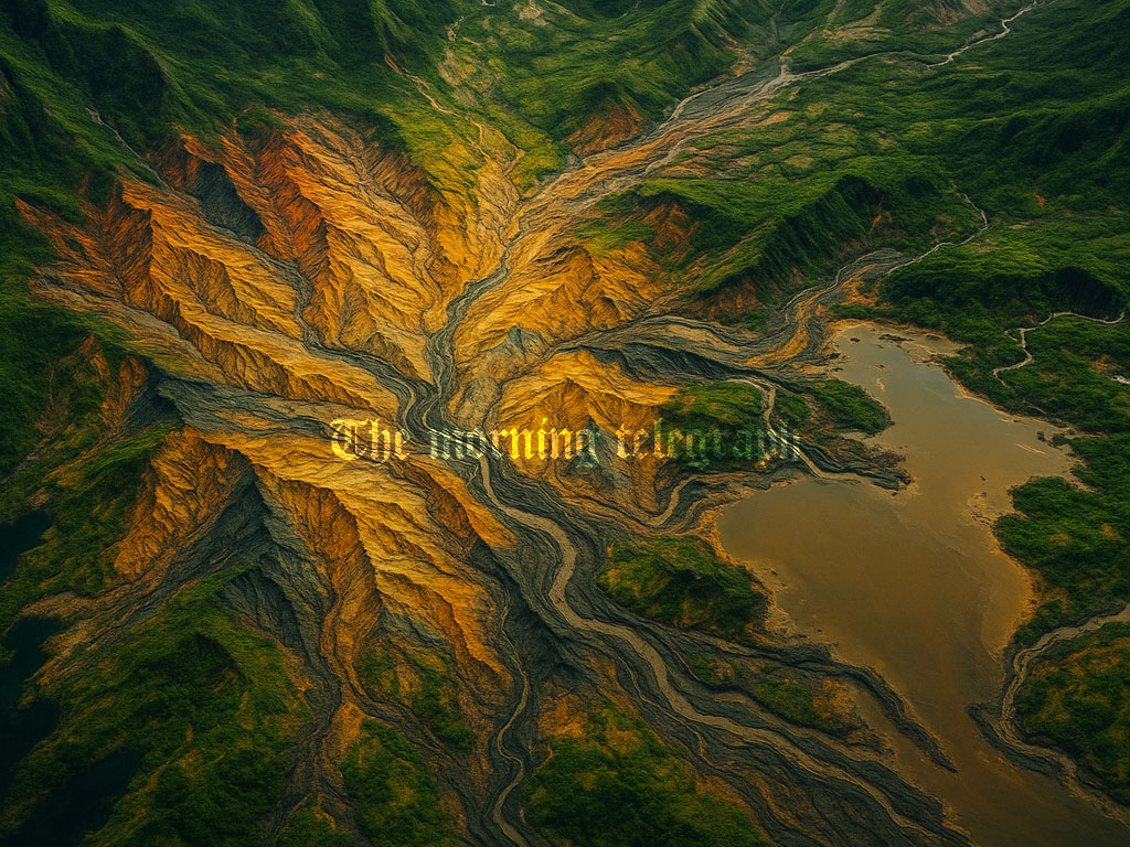
Sri Lanka’s upcountry geography has undergone noticeable changes in several areas due to landslides caused by Cyclone Ditwah, prompting the need for revisions to the country’s land use map series, according to Surveyor General N.K.U. Rohana.
He stated that severe landslides in certain regions have altered the geological landscape, making updated and accurate mapping essential for future planning. To support this process, the Survey Department is preparing to obtain high resolution satellite images from space stations orbiting Sri Lanka. These images will be used to identify landslide affected zones and assess damage to river basins, land formations, and agricultural areas.

“The damage is mainly to the geological landscape. Outer areas remain mostly unaffected, but some regions may need resettlement,” Rohana said. He explained that the acquisition of detailed satellite imagery will become a priority once the disaster situation stabilizes and restoration work on rivers, lakes, canals, bridges, roads, and highways is completed.
While basic satellite images are available free of charge, the Surveyor General noted that high quality close up images require significant funding. At present, the department has gathered several low resolution images from disaster affected provinces and has already begun preliminary assessments.
“All mapping will be done once the situation settles. Rapid reconstruction is underway, and some areas are still underwater. We must wait until water recedes,” he said. “We have already taken satellite images of flooded regions and started mapping. National mapping is carried out every five years.”
The Survey Department is also seeking international assistance through diplomatic channels to obtain advanced satellite imagery. Countries approached include China, India, Japan, the United States, and Russia. Rohana confirmed that China has already provided several close up images highlighting flooded and landslide hit areas, although further image collection may be delayed due to ongoing weather conditions.
A new national level map of Sri Lanka is currently being prepared as part of this comprehensive re mapping effort, he added.