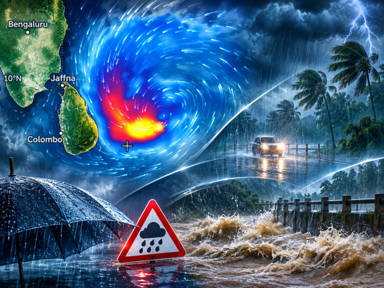
COLOMBO, November 13, 2026 – Sri Lanka faces an increased risk of heavy rain and flash flooding from November 14 to 16 as a low-pressure system develops over the Bay of Bengal. Eastern, Northern and North Central districts could face the greatest impact, although its exact path remains uncertain.
A developing weather disturbance over the Bay of Bengal could bring heavy rainfall, flash floods and hazardous sea conditions to several parts of Sri Lanka over the next three days, with meteorologists warning that the system may intensify into a depression.
Director General of the Department of Meteorology Ajith Wijemannage said a low-pressure area was expected to develop over the Bay of Bengal around November 13, before moving northwards through waters east of Sri Lanka.
Current forecasts suggest the system is unlikely to cross the island directly. Instead, it could move northwards parallel to the eastern coastline, potentially influencing weather conditions across several provinces.
The Department has identified November 14, 15 and 16 as a period during which rainfall could increase significantly, with the Eastern, Northern, North Central and North Western Provinces particularly exposed.
The possibility of flash flooding is a concern in the Eastern Province, especially in Batticaloa, Ampara and Trincomalee.
Although the system could strengthen into a depression, meteorologists have not confirmed that it will develop into a tropical cyclone.

Low-Pressure System Expected to Move Northwards
Speaking to BBC Sinhala, Wijemannage explained that a low-pressure area was expected to develop to the northeast of Sri Lanka around November 13.
Forecasts indicate that the disturbance could subsequently intensify as it travels northwards through the Bay of Bengal.
“Our forecasts currently indicate that along with it, this will then travel northward along the sea close to our eastern coast,” he said.
Unlike previous weather systems that crossed Sri Lanka, the developing disturbance is presently expected to remain offshore.
“With the current forecasts, this will not cross Sri Lanka. We think it will move up along the coast itself,” Wijemannage explained.
However, the precise route remains uncertain.
Different forecasting models have produced varying projections, with some suggesting that the system will remain farther from the island while others indicate that it could move closer to Sri Lanka’s eastern coastline.
“At present, a few models show it going far away, a few others show it going up close to us… going north,” the Director General said.
A clearer assessment of the system’s track and intensity will become possible once it develops further.
Under the projected movement described by Wijemannage, the disturbance could influence weather conditions near the eastern coast from November 14, move closer to Sri Lanka’s northern region around November 16 and subsequently head towards the Indian coast.
The possibility of cyclone formation has not been completely excluded, particularly if the system slows and intensifies over the sea.
Nevertheless, the Department’s assessment at the time of the interview was that the disturbance was more likely to move northwards without developing into a cyclone.
Flash Flood Risk in Eastern Province
The most immediate concern for residents is the possibility of intense rainfall over a relatively short period.
Wijemannage warned that the developing system could increase rainfall from November 14, initially affecting the Eastern Province before extending towards northern and north-central areas.
“From the 14th, rain will increase, especially in the Eastern Province. Then to the North and North Central. It will also affect the North Western side,” he said.
Batticaloa, Ampara and Trincomalee have been identified as districts where particularly heavy rainfall could create conditions favourable for flash flooding.
“When somewhat heavy rain falls, there is also room for flooding in some places,” the Director General warned.
Flash floods can develop quickly when intense rainfall overwhelms drainage systems, waterways and low-lying areas.
Even where the total rainfall over several days is not exceptionally high, a concentrated downpour can create dangerous conditions within a short period.
Residents in flood-prone areas should therefore remain attentive to official warnings and avoid unnecessary travel through flooded roads or waterways.
The influence of the developing system may not be limited to the eastern and northern parts of the country.
Wijemannage said atmospheric moisture transported by wind flows from the northwest could also increase rainfall in the Western, Sabaragamuwa and Southern Provinces.
As a result, communities outside the areas closest to the projected path should not assume that they will remain unaffected.
Weather System Could Become a Depression by November 15
Official regional weather bulletins provide further information about the expected development of the disturbance.
The India Meteorological Department has identified an upper-air cyclonic circulation over the Andaman Sea and adjoining areas.
The system is expected to develop gradually as it moves into the southeast Bay of Bengal.
The projected sequence is as follows:
- Current atmospheric conditions: An upper-air cyclonic circulation has been observed over the Andaman Sea and adjoining areas, creating conditions favourable for the development of a low-pressure system.
- November 13, 2026: A low-pressure area is expected to form over the southeast Bay of Bengal.
- November 14, 2026: The disturbance is forecast to move northwestwards and strengthen into a well-marked low-pressure area.
- November 15, 2026: The system could intensify further into a depression, although its precise development remains dependent on atmospheric conditions.
- November 16, 2026: Sri Lanka could continue experiencing increased rainfall as the system progresses, with its exact location and intensity requiring further assessment.
- Cyclone risk: No new tropical cyclone has been officially confirmed. Its eventual development will depend on the strength, movement and organisation of the weather system.
Forecasting models continue to show differences in the projected track and maximum intensity.
These differences are particularly important because the distance between the developing disturbance and Sri Lanka will influence the extent of its effects on the island.
Rough Seas and Strong Winds Expected
The developing system also presents risks to fishing and maritime activities in the Bay of Bengal.
The Department of Meteorology has advised fishing and naval communities to monitor updated forecasts and special weather bulletins.
Regional weather guidance indicates that winds could reach 40–50 kilometres per hour over parts of the Andaman Sea and southeast Bay of Bengal during November 14 and 15, with gusts reaching approximately 60 kilometres per hour.
Sea conditions are expected to deteriorate in affected areas as the system develops.
Closer to Sri Lanka, separate marine forecasts indicate that northeasterly winds could strengthen at times, while thundershowers may produce temporary strong gusts and rough seas.
Multi-day fishing vessels operating in the affected deep-sea areas face particular risks.
Fishing communities should follow official restrictions and warnings before departing, rather than relying solely on the appearance of weather conditions near the coast.
Above-Normal Rainfall Possible Until the End of November
The Director General also warned that the influence of the developing system could be followed by further heavy rainfall during the remainder of November.
According to Wijemannage, Sri Lanka may experience more rain than usual over the next two to three weeks, potentially extending until the end of the month.
The continuing inter-monsoon weather pattern is a major factor contributing to these conditions.
“Anyway, in the next two to three weeks, we expect more rain. Heavy rains too, and at times there is room for very heavy rain to occur even within a very short period,” he said.
Even after the developing low-pressure system moves away, atmospheric conditions associated with the inter-monsoon period could continue generating intense showers and thunderstorms.
Rainfall may also spread more widely into the country’s wet-zone areas.
Wijemannage referred to the possible influence of El Niño-related global climate conditions on rainfall patterns during this period.
“Again, after that moves away from us, normally the inter-monsoon rains are what remain. In that, along with this El Niño condition, intense rain is received,” he said.
Such statements concern seasonal weather expectations and should not be interpreted as precise predictions of rainfall amounts at individual locations.
The severity of localised downpours will depend on atmospheric conditions closer to the time they occur.
Northeast Monsoon Expected to Begin in December
Sri Lanka’s prevailing inter-monsoon conditions are expected to transition into the northeast monsoon towards the end of November and during December.
During the inter-monsoon period, winds are more variable in direction, contributing to the formation of afternoon and evening thunderstorms across different parts of the island.
With the commencement of the northeast monsoon, prevailing winds shift towards the northeast.
“Then, next month, the northeast monsoon begins. Then this changes again,” Wijemannage explained.
The northeast monsoon normally brings a different distribution of rainfall, with the Northern and Eastern Provinces receiving greater attention in seasonal forecasts.
According to the Director General, projections from the South Asian Climate Outlook Forum indicate that rainfall during December could be slightly above normal in some areas.
“Actually, in the northeast monsoon, we generally expect average; taking December, it’s like slightly above normal. That means a little bit more than the average,” he said.
Northern and Eastern areas may consequently experience somewhat higher rainfall than their usual December averages.
In contrast, Western and Sabaragamuwa Provinces could receive less rainfall than normal during the same period.
“But in our Western and Sabaragamuwa provinces, sometimes the rain may decrease compared to normal,” Wijemannage noted.
These are seasonal projections rather than guarantees of conditions on particular days.
Public Urged to Monitor Official Warnings
With the possibility of heavy rain, localised flooding and changing sea conditions over the coming days, meteorological and disaster-management authorities have urged the public to remain vigilant.
The Disaster Management Centre has warned that active inter-monsoon conditions could increase rainfall across several provinces, particularly during November 14 and 15.
Residents in flood-prone locations should closely monitor official weather bulletins and instructions from local authorities.
Motorists should exercise caution where heavy rainfall reduces visibility, while people travelling through low-lying areas should remain alert to rapidly rising water levels.
Fishing and maritime communities should continue following specialised advisories covering the Bay of Bengal and surrounding waters.
Anyone facing an immediate disaster-related emergency may contact the Disaster Management Centre through its emergency hotline, 117.
Although current forecasts suggest that the developing system is unlikely to cross Sri Lanka directly, its movement and intensity could change as it becomes more organised.
The Department of Meteorology is expected to issue further updates as additional observations become available.
For now, the greatest concern is not whether the disturbance receives a cyclone name, but whether intense rainfall over the coming days creates dangerous conditions for communities already vulnerable to flooding.