Sri Lanka flash flood risk could rise when landslides block rivers and canals, Professor Athula Senarathna warns, urging urgent hazard mapping.
Sri Lanka flash flood risk could produce a disaster similar to Nepal’s recent tragedy, although on a smaller scale, Professor Athula Senarathna has warned.
The former senior professor of the Department of Geology and Geological Studies at the University of Peradeniya said such an event could occur at any time.
He added that the disaster in Nepal provides a direct lesson for Sri Lanka.
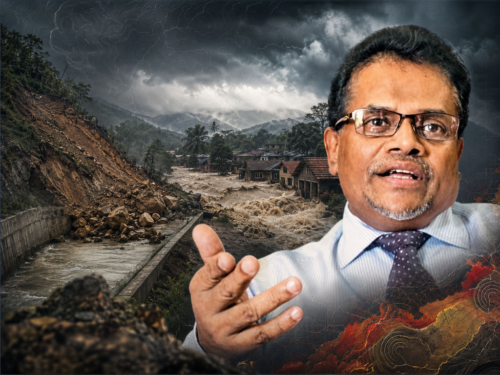
Senarathna pointed to the recent landslide in the Sarasavigama area during Cyclone Ditwa as a clear local example.

The landslide blocked a canal in the area. As water accumulated behind the obstruction, the surrounding village became submerged.
More than 20 people died in the incident, according to the Professor.
He explained that degraded rocks and large masses of soil can collapse into rivers, canals and other waterways during landslides.
When that material blocks the normal flow of water, large volumes can quickly build up behind the obstruction.
If the blockage later breaks, the accumulated water can rush downstream suddenly and create a severe flash flood.
Professor Senarathna said this type of Sri Lanka flash flood risk requires greater attention from disaster management authorities.
He stressed that authorities already map conventional landslide-prone areas, but similar mapping is also needed for locations where waterways could become blocked.
Such maps could identify rivers, canals and surrounding slopes where landslides may create temporary natural dams.
Early warning systems should then be introduced for communities living downstream of those locations, he said.
According to the Professor, identifying these danger zones before a disaster occurs would allow authorities to issue warnings and evacuate vulnerable communities more quickly.
He said urgent mapping and monitoring could help prevent a repeat of tragedies such as the one experienced in Sarasavigama.